
Making research on sky, seas and oceans, earth and depths of the space, development and application of transportation, planning and engineering projects regarding these; will continue to be the focus point of scientific researches today and in the future, educational activities in graduate and undergraduate level.
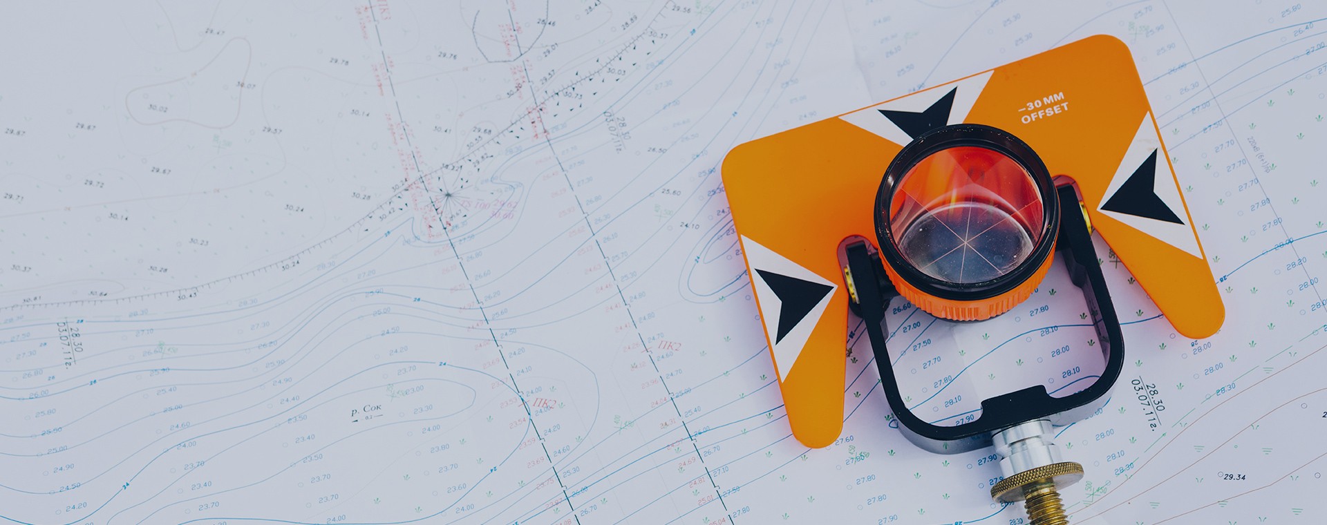
Subjects such as sensational surveying and calculations; remote sensing-monitoring-positioning and applications based on satellite technologies; vehicle tracking systems, making base/situation and cadastral maps; land valuation, use and management of real estates; geographical information systems and urban information systems; disaster information system; land use plan; formation of 3 dimensional urban models and urban regeneration are generally issues that are within the scope ofGeodesy and Photogrametry, Department of Urban and Regional Planning.
Since 1990s, being universities of Europe (especially Germany) and United States of America in the first instance, the departments activating under Geodesy and Photogrametry Engineering or with similar name, by developing or renewing themselves, they have gone through re-structuring under the name of “Geomatics Engineering” meaning “engineering of land-ground automation”.
In our country there are departments related to this subject in several universities making vocational education and scientific research. These universities have completed rearrangement of the name and the content of the current Geodesy and Photogrametry Engineering. “Geomatics Engineering” has been approved as the new name by some of the universities. On the other hand, it is evident that the demand for the graduates of this department by private and public sectors has not been met by the reacted departments of neither in Istanbul nor in Anatolia. Presently, there is an extreme requirement for geomatics engineer in Istanbul Metropolitan Municipality privately and in all of the metropolitan municipalities and district municipalities.
The Department of Geomatics Engineering making declination to subjects focused on municipality-local government; will be highly beneficial for legal and technical issues such as development planning, urban regeneration applications, land valuation that are on the agenda of related public institutions being Istanbul Metropolitan Municipality, TOKI in the first instance. In the future, the main subject of this engineering will be local governments.
As Istanbul Okan University Faculty of Enginerring Department of Geomatics Engineering, we aim to begin to educational life by employing technical and academical specialists that will be able to use products of advanced technology, make scientific researches with these, and enable realization of the so-called applications or projects. We will be glad to study with our students interested in urbanization applications.